

PALMOILMAGAZINE, JAKARTA — The Indonesian Palm Oil Association (GAPKI) is strengthening coordination with stakeholders to prevent and respond to forest and land fires (karhutla) as Indonesia enters the 2026 dry season.
GAPKI has called on all member companies to enhance preparedness, strengthen cross-sector coordination, and intensify field operations to reduce fire risks and protect communities from the impacts of haze.
As part of its preventive measures, GAPKI has issued a series of official circulars to its regional chapter heads and member companies.
Also Read: GAPKI and the Government Strengthen National Preparedness to Mitigate Forest Fire Risks
Through Letter No. 088/GAPKI/III/2026, issued on March 13, 2026, GAPKI called for early measures to anticipate land fires. The association followed this with Letter No. 280/GAPKI/VII/2026, dated July 30, 2026, specifically addressing fire prevention on peatlands.
Both letters urged GAPKI members to strengthen preventive measures and work collectively to reduce the risk of forest and land fires.
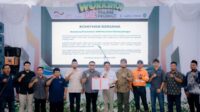
GAPKI has also strengthened cooperation with the Indonesian Forest Concessionaires Association (APHI) through a Memorandum of Understanding signed on October 16, 2025, covering community development and forest and land fire control.
Also Read: Dry Season Fire Risk Rises, APHI-GAPKI Urge Palm Oil and Forestry Companies to Act Early
The agreement was witnessed by representatives of the Ministry of Environment, Ministry of Forestry, and Ministry of Agriculture.
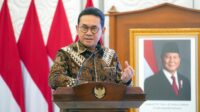
GAPKI Chairman Eddy Martono said the cross-association cooperation reflects the business sector’s shared responsibility to protect concession areas and surrounding communities from the threat of forest and land fires.
Companies Strengthen Fire Preparedness
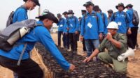
GAPKI member companies in various regions have been conducting regular fire preparedness drills and field operations.
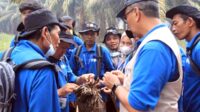
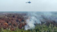
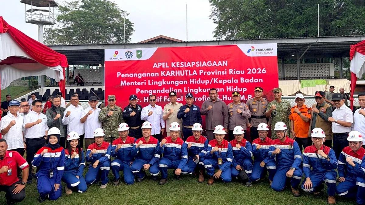
Member companies are required to activate their Preparedness and Emergency Response Teams and ensure that firefighting units are ready to operate, supported by adequate infrastructure such as water pumps, reservoirs, and fire lookout towers.
Coordination with Regional Disaster Management Agencies (BPBD), Manggala Agni, and the Indonesian Military and National Police is also being intensified in each operational area to ensure rapid and targeted responses when fires occur.
Also Read: APHI-GAPKI Urge Joint Protocol to Speed Up Forest and Land Fire Response
Field Actions Across Regions
GAPKI’s commitment is being implemented through concrete measures in several operating regions.
Central Kalimantan
GAPKI has deployed monitoring teams to assist with hotspot surveillance and fire response, particularly around Palangka Raya.
Also Read: Industry and Public Accountability in Efforts to Mitigate Forest and Land Fires
South Kalimantan
GAPKI South Kalimantan has placed firefighting teams from member companies on standby and joined a ground task force together with seven other companies. The association has also distributed 20,000 masks to communities affected by haze.
West Kalimantan
Oil palm companies in Ketapang, including Sinar Mas, have continued to strengthen public awareness campaigns, fire preparedness drills, and joint patrols involving the military and police, subdistrict and village authorities, and local communities.
The approach is in line with President Prabowo Subianto’s direction during a meeting on forest and land fire management in West Kalimantan, which emphasized stronger coordination among the government, security forces, the National Disaster Management Agency (BNPB), and the private sector.
Also Read: ISPO Training Prepares 87 Aceh Singkil Oil Palm Smallholders for Certification
Hotspot Data Requires Careful Interpretation
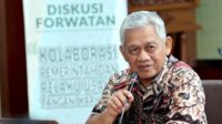
Amid growing public attention to hotspot data, IPB University Professor Yanto Santosa emphasized that satellite-detected hotspots should not automatically be interpreted as confirmed fires.
“A hotspot is a location identified by a satellite sensor as having a thermal or energy anomaly compared with its surroundings. Therefore, not every hotspot can immediately be interpreted as a confirmed fire,” Yanto said.
He said several factors must be considered when interpreting hotspot data, including confidence levels, sensor type, satellite overpass timing, cloud and smoke cover, and potential non-fire sources of heat.
Also Read: South Sumatra Prepares 66,000 Hectares for Palm Oil Expansion, Farmers Urged to Benefit
Field verification and supporting evidence are particularly important when hotspot data are used to determine the extent of a fire, its origin, or the party responsible.
“To conclude that an area has actually burned, especially to determine the extent, origin, and responsibility, layered evidence is required,” Yanto said.
Such evidence may include multi-temporal hotspot data, higher-resolution imagery, burned-area maps, weather data, legally verified concession boundaries, field documentation, and, where relevant, fire forensic investigations.
Yanto also stressed that a hotspot detected within a concession does not automatically prove that the concession holder caused the fire.
“Spatially, a hotspot located within a concession indicates a thermal detection at that location. However, causality must still be established,” he said.
Determining the cause requires information on the fire’s point of origin, direction of spread, fuel conditions, activities at the site, timing of the incident, and investigation findings.
Also Read: GAPKI Accelerates ISPO Certification in West Kalimantan, Targets 100% Certified Members
Forest and Land Fires Cross Land-Use Boundaries
According to official data cited by Yanto, forest and land fires in Indonesia occur across different land-use categories and cannot be reduced to a single sector.
Indonesia’s Ministry of Forestry’s SiPongi Fire Monitoring System recorded an estimated 107,465.47 hectares of forest and land fires nationwide during January–June 2026. About 54% occurred within forest areas, while 46% occurred in Areal Penggunaan Lain (APL), which includes community land, plantations, and other non-forest uses.
The data indicate that fires occur across diverse landscapes. Yanto therefore cautioned against determining which sector is most responsible based solely on raw hotspot numbers, a single region, or a limited observation period.
“Government data themselves show a much more diverse pattern than the single-sector narrative. Fair comparisons between land uses require consistent spatial overlays and normalization based on area,” he said.
Also Read: 9th Borneo Forum 2026: GAPKI Highlights Innovation and Productivity as Keys to Future Growth
Regarding hotspot data in South Kalimantan, which has drawn public attention, Yanto said figures published by WALHI South Kalimantan showed 1,281 hotspots between May 1 and July 22, 2026.
Of the total, 875 hotspots were located within mining concessions and 32 within oil palm plantation concessions.
This means 907 hotspots, or approximately 70.8%, were located within company concession areas. The figure was subsequently rounded to 71%.
More specifically, mining concessions accounted for approximately 68.3% of the total hotspots, while oil palm concessions accounted for around 2.5%.
“These findings are important for setting priorities for field verification and monitoring. However, the presence of a hotspot within a concession polygon only indicates the location of a thermal detection. It does not automatically mean that the fire was caused by mining or plantation activities,” Yanto said.
He added that cross-sector comparisons should not rely solely on absolute hotspot numbers. Analyses should also account for the size of each concession, observation period, satellite sensor, hotspot confidence level, potential duplicate detections, and the number of incidents verified in the field.
Also Read: GCMA: Leading Source for Climate, Weather, and Disaster Preparedness in Indonesia
Weather and Land Conditions Matter
Beyond human activity, weather and biophysical conditions are also important factors determining how easily fires ignite, persist, and spread.
During dry conditions, lower fuel moisture increases fire risk. On drained peatlands, declining water tables can make organic layers more susceptible to burning and allow fires to spread underground.
“A hotspot itself contains no information about the identity of the actor, motive, or cause of ignition. Sensors measure thermal radiation, not the social or legal processes behind a fire. Therefore, attribution must come from investigation, not from hotspot locations alone,” Yanto said.
GAPKI considers this data-based approach important to ensure forest and land fire prevention and response measures are targeted effectively. The association also called for the same evidentiary standards to be applied across all sectors and land-use categories.
As Indonesia faces increasingly challenging weather conditions, GAPKI is urging stakeholders to strengthen coordination and collective action to prevent and control forest and land fires.
The association said stronger cooperation is essential to protect the environment, communities, and Indonesia’s air quality from the impacts of recurring haze. (P3)